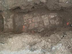
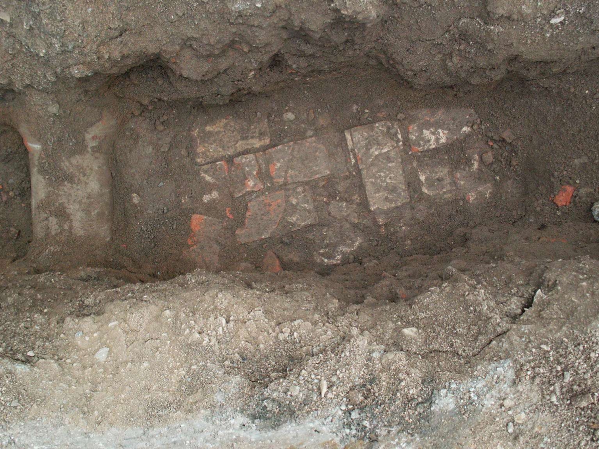
Upplandsmuseet genomförde under januari 2008 en schaktningsövervakning vid Historicum i universitetsparken. Orsaken var schaktningsarbeten för grundvattenkyla, vilka hade föregåtts av markarbeten för dagvattenledningar. Vid Historicums sydvästra hörn påträffades dels en murrest av tegel och dels lämningar efter ett hus. Tegelmurens funktion och datering var ej möjlig att klarlägga. De påträffade lämningarna efter huset härrör från en byggnad som i olika skepnader stått utmed den gamla sträckningen av Rundelsgränd i nuvarande universitetsparken. Huset uppfördes troligen i slutet av 1600-talet och stod på tomten till slutet av 1800-talet då det troligen revs för att lämna plats åt universitetsparken. De påträffade bebyggelselämningarna utgjorde inget hinder för arbetet med grundvattenkylan och kunde bevaras på plats.
Fotografering: January 23, 2008 - January 24, 2008
LitteraturreferenserÖlund, Anna: Historicum. Etapp III. Bebyggelselämningar i Universitetsparken, Centum 1:9, Fjärdingen, Raä 88, Uppsala stad, Uppland. Upplandsmuseets rapportserie 2008:02
")
")
Add a comment or suggest edits
To publish a public comment on the object, select «Leave a comment». To send an inquiry directly to the museum, select «Send an inquiry».