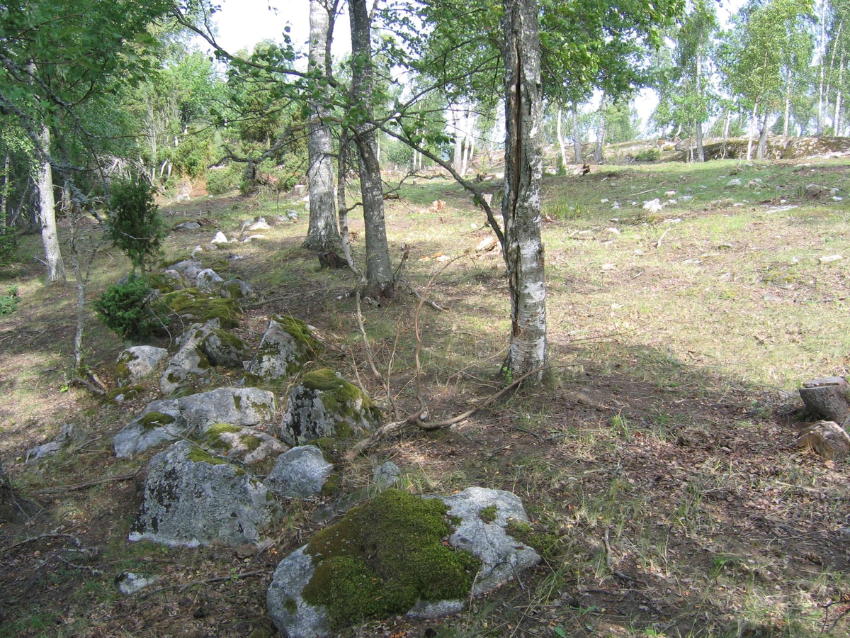
Upplandsmuseet gjorde i juli 2006 en arkeologisk undersökning i form av en kartering vid Uppeby i Hacksta socken. Undersökningen föranleddes av bygge av bostäder. De karterade lämningarna låg på en åkerholme och utgjordes av hägnader i form av stensträngar, spår av odling med diken, åkerhak, stenröjda ytor och röjningsrösen, samt körvägar. Många av lämningarna kan därmed betecknas som fossil åkermark med anslutande hägnader. Körvägarna ansluter till brukningsvägar på en lantmäterikarta från 1779. Odlingslämningarna är sannolikt sentida, medan hägnaderna såväl kan vara förhistoriska som sentida.
")


")
Add a comment or suggest edits
To publish a public comment on the object, select «Leave a comment». To send an inquiry directly to the museum, select «Send an inquiry».