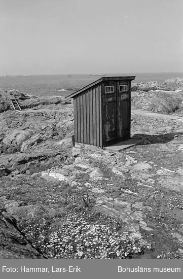
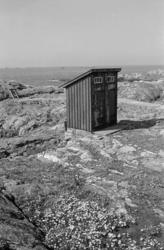
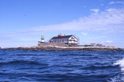
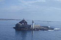
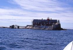
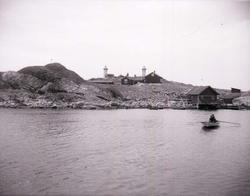
Fyrplatens Pater Noster ligger på ön Hamneskär, en av Pater Nosterskärens sydligaste öar i det yttre havsbandet, Väster om Marstrand. Innanför Pater Noster skären går vältrafikerade farleder. Både för fritidstrafik och reguljärtrafik. Farlederna stryker längs Pater Nosterskären och går längs cirka 300 öar och skär.
Hamneskärs östsida är ganska låg och flack medans västsidan på sina ställen stupar brant ner i havet på sina ställen. Ön har ett utsatt läge för väder och vind och ligger utan skydd för västvindarna. . De fåtal växter som kan leva på ön gör det i bergsskrevor och sprickor på östsidan där de får lite skydd mot vädrets makter.
Ön har två hamnar, en natulig vik på västsidan som sedan länge har tjänat som hamn på ön och en nyare anlagd hamn på östsidan med vågbrytare.
Add a comment or suggest edits
To publish a public comment on the object, select «Leave a comment». To send an inquiry directly to the museum, select «Send an inquiry».