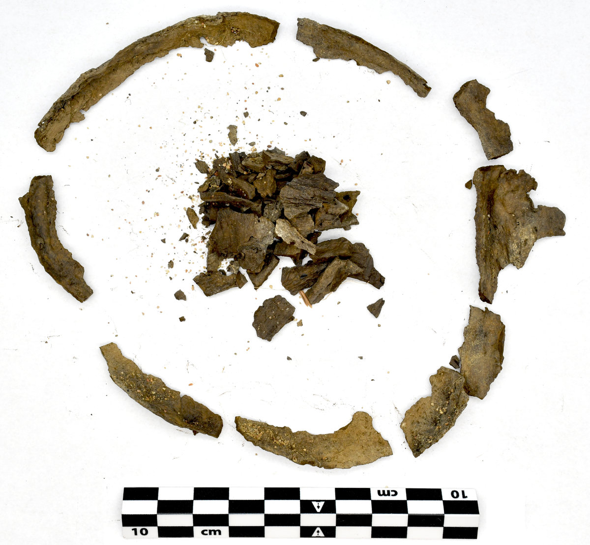
Hartstätning från anläggning 7.
Tunn fragmenterad mörk harts.
Anläggning 7:
Rund stensättning, ca 6 meter i diameter.
Endast Ö halvan bevarad efter tidigare grustäkt. Ej synlig ...
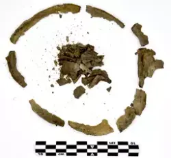
Hartstätning från anläggning 7.
Tunn fragmenterad mörk harts.
Anläggning 7:
Rund stensättning, ca 6 meter i diameter.
Endast Ö halvan bevarad efter tidigare grustäkt. Ej synlig innan undersökning.
Stensättningen bestod av ett skadat mittröse, 1,2 meter i diameter med en mittsten.
Området mellan mittröset och kantkedjan bestod av jordfyllning med enstaka småstenar.
7A: Röse, förskjutet mot S i förhållande till mittstenen. Röset var 1 m i diameter bestående av stenar som bildade ett ”rör”. I botten var 9 stenar ställda i en ring. Inne i ringen fanns djurbenen samt hartstätningsringarna. Utanför N kanten av ringen påträffades brända ben inom en hartstätningsring. Hela anläggningen var nedgrävd i fin sand, ingen sot/kol påträffades.
7B: Norr om mittrösen en 3 meter lång nedgrävd jordfylld ränna. I jordfyllningen kunde skönjas en svag mörkfärgning, eventuellt spår av skelett.
Inga fynd.
Fynd från arkeologisk undersökning vid Näs 1:2, Svedvi, Hallstahammar. Undersökt år 1960 under ledning av Henry Simonsson.
Daterad via harts från graven till romersk järnålder.
Sommaren år 1960 undersöktes gravfältet i Näs, Hallstahammar (L2003:4659) som företogs med anledning av vägbygget av nya motorvägen E18 mellan Köping-Västerås (riksväg 11, Köping-Västjädra). Undersökningen leddes av Henry Simonsson med biträde av Eva Simonsson.
Gravfältet är beläget på Kolbäcksåsen, ca 100 m SSÖ om Hallstahammars vattenverk och ca 450 m Ö om vägen Kolbäck-Hallstahammar.
Det undersökta området omfattade 500 m2. Gravfältet är 125 meter långt och befinner sig på åsen krön. 13 anläggningar ingick i undersökningsområdet varav 10 anläggningar inte tidigare upptäckts vid inventering av området år 1957. Vid inventeringen 1957 kartlades 28 fornlämningar – de tre nordligaste ingick i undersökningen år 1960. Fornlämningarna består av stensättningar, runda och kvadratiska, samt tidigare resta stenar.

")


Add a comment or suggest edits
To publish a public comment on the object, select «Leave a comment». To send an inquiry directly to the museum, select «Send an inquiry».